Hiking the Badwater Basin Salt Flats Trail in Death Valley National Park
Distance: 2.0 - 5.0 miles / 3.2 - 8.0 km
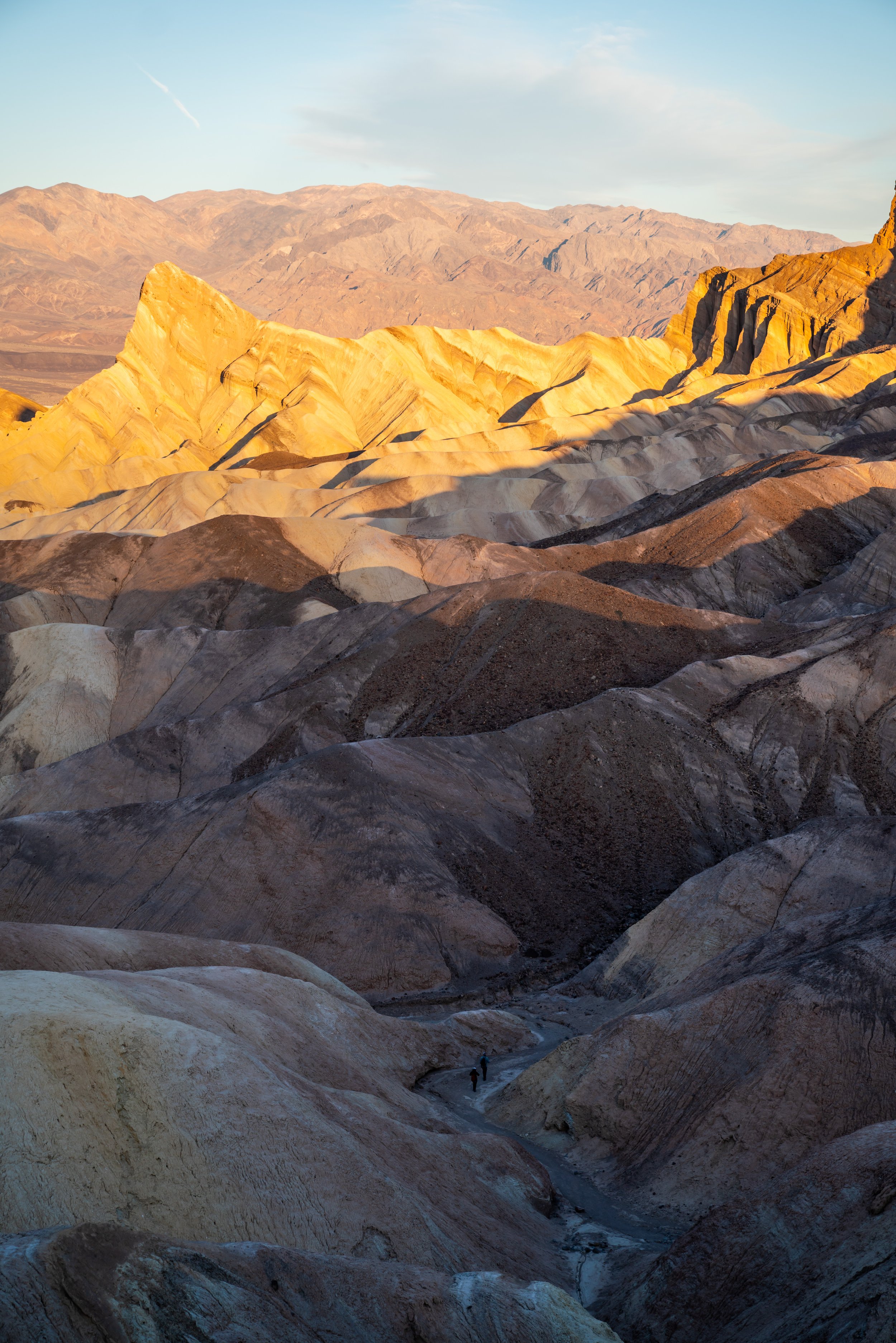
From the highest peak in North America at 20,310 ft. (6,190 m) to the lowest point in North America at -282 ft. (-86m), visiting the Badwater Basin was a pretty cool moment for me!
The Badwater Basin Trail is one of Death Valley’s most visited areas for a number of reasons.
The first and most obvious is because the it’s the lowest point on the continent, but on top of this, the trail out to the expansive Badwater Basin is one of the easiest kid-friendly trails within the park.
All said, Badwater Basin can flood at any time of the year, covering the basin with standing water.
Badwater Basin Trailhead Parking
Since Badwater Basin is one of the most popular places in Death Valley, parking can be hard to come by at many times of the day.
This is why cars are lining the highway outside of the main parking lot in the photo below.
Google Maps Directions: Badwater Basin Trailhead
Hiking Checklist - Death Valley
Here is a complete list of must-have things that you will want for any hike in Death Valley National Park.
Hiking the Badwater Basin Trail
Some of these photos may seem out of order in terms of the daylight, but I had to use some from different times because of how they turned out in the harsh sunlight.
That being said, there is no shade on the Badwater Basin Trail. Be cautious of the time of day and time of year that you decide to hike in the basin because it can be brutal!
When you’re standing here, turn around and look at the mountain above the parking lot. You’ll see a faint sign 282 ft. above you that reads “Sea Level”.
The first part of the Badwater Basin Trail is typically very smooth because of all the foot traffic.
Being the case, there was more than one family pushing a stroller for at least the first half of the trail where it is still possible to do so.
However, the trail will almost always become unmanageable for pushing young kids toward the larger basin area.
Badwater Basin
At the end of the trail, the basin opens up for seemingly endless miles of exploring.
Don’t expect to see the beautiful geometric salt deposits that you see in the most popular photos right at the opening of the basin. For the same reason the trail is smooth in the beginning, people walk in every direction once in the greater Badwater Basin, essentially flattening any salt deposits at the end of the trail.
How to Get the Best Salt Deposit Photos in the Badwater Basin?
The answer is the reason why the distance at the beginning of the post is so variable. You need to explore!
Venturing more than a mile or two away from the trail’s terminus in most directions is your best chance at seeing the geometric salt deposits in the Badwater Basin.
[Warning] - If you’re going to hike far away from the trails end, make sure that you are tracking your path on some sort of app like Strava. In the worst case scenario, your GPS track may be the best way for you to navigate back to the trail in the event that you get lost and everything starts to look the same in the basin.